Examples of Equal Area Projection Maps
As shown in the examples below, equal-area projection maps preserve the size of features true to their real area.For example, keep an eye on how Greenland retains its true size of the area throughout each map.
1. Behrmann
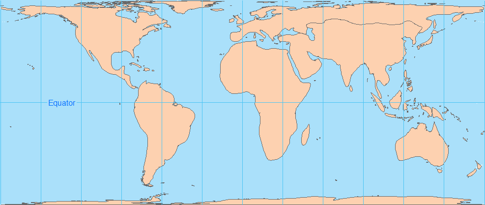
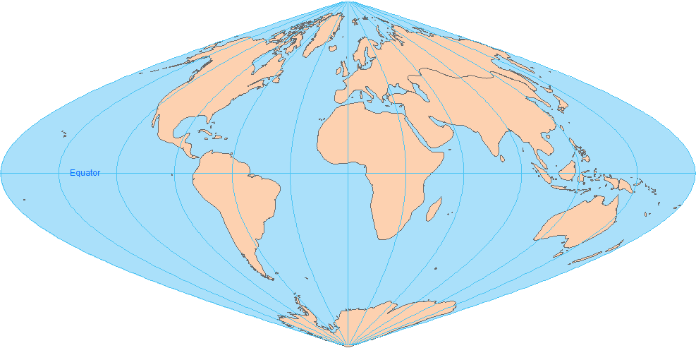
2. Sinusoidal
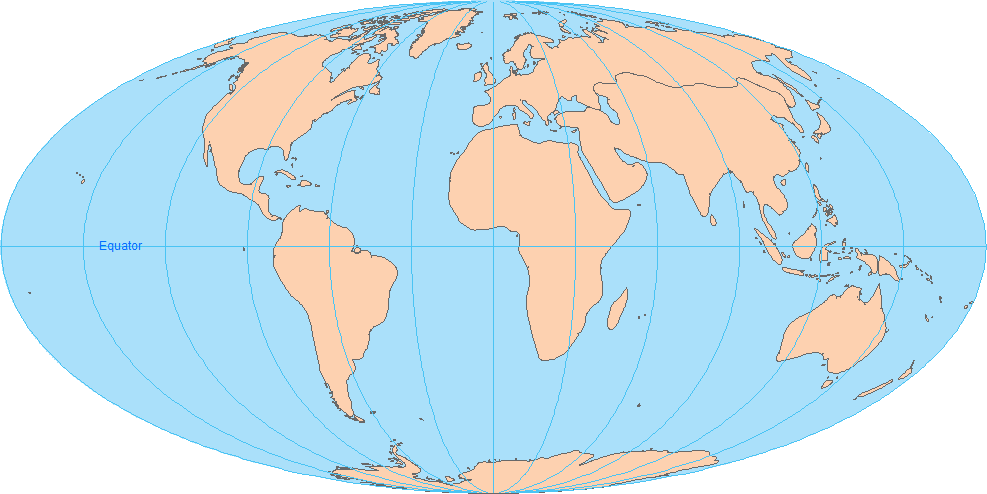
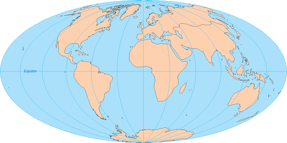
3. Mollweide
4. Hammer Aitoff
5. Bonne
But if you look at a Mercator projection map below, Greenland becomes abnormally large due to its distortion in the area at the poles.
And Antarctica looks like it’s bigger than all the other continents.
USGS Uses the Albers Equal Area Conic Projection
H. C. Albers first introduced this map projection in 1805 with two standard parallels (secant). Since then, cartographers have used it for displaying large countries that require equal-area representation
Like all map projections, the Albers Equal Area Conic Projection distorts other properties in a map. For example, distances and scale are true only on both standard parallels.
Although the direction is reasonably accurate, it’s not conformal, perspective, or equidistant.
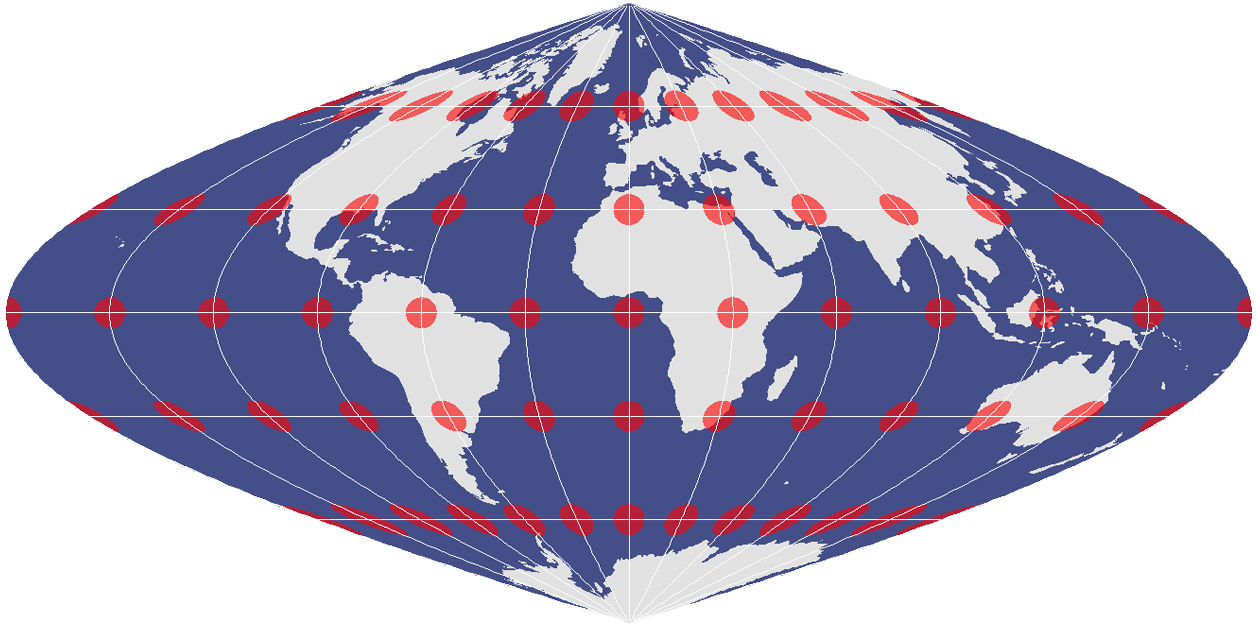
Tissot Circles and Distortion
Despite how the Tissot indicatrix changes from a circle to an ellipse, this projection retains relative size.
So now you have an idea of how equal area projections work, we have a section entirely dedicated to the types of distortions found in maps.
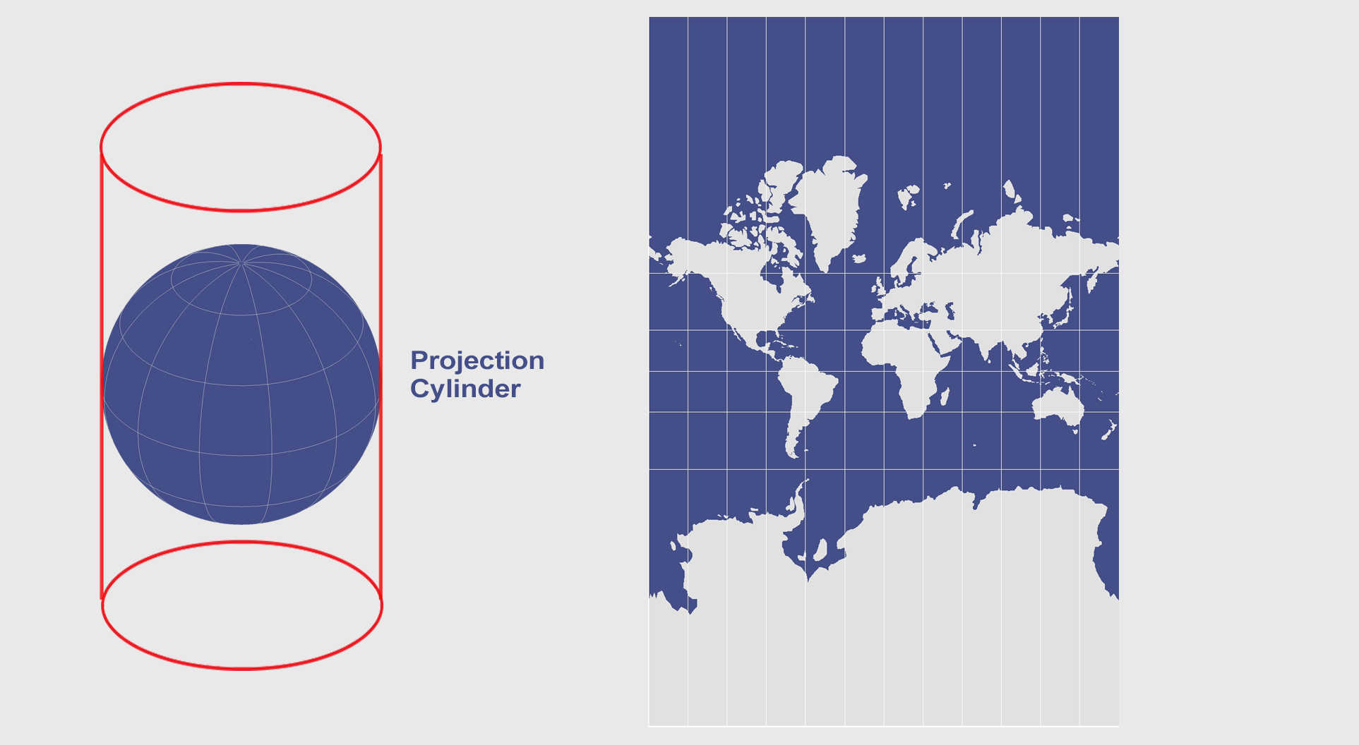
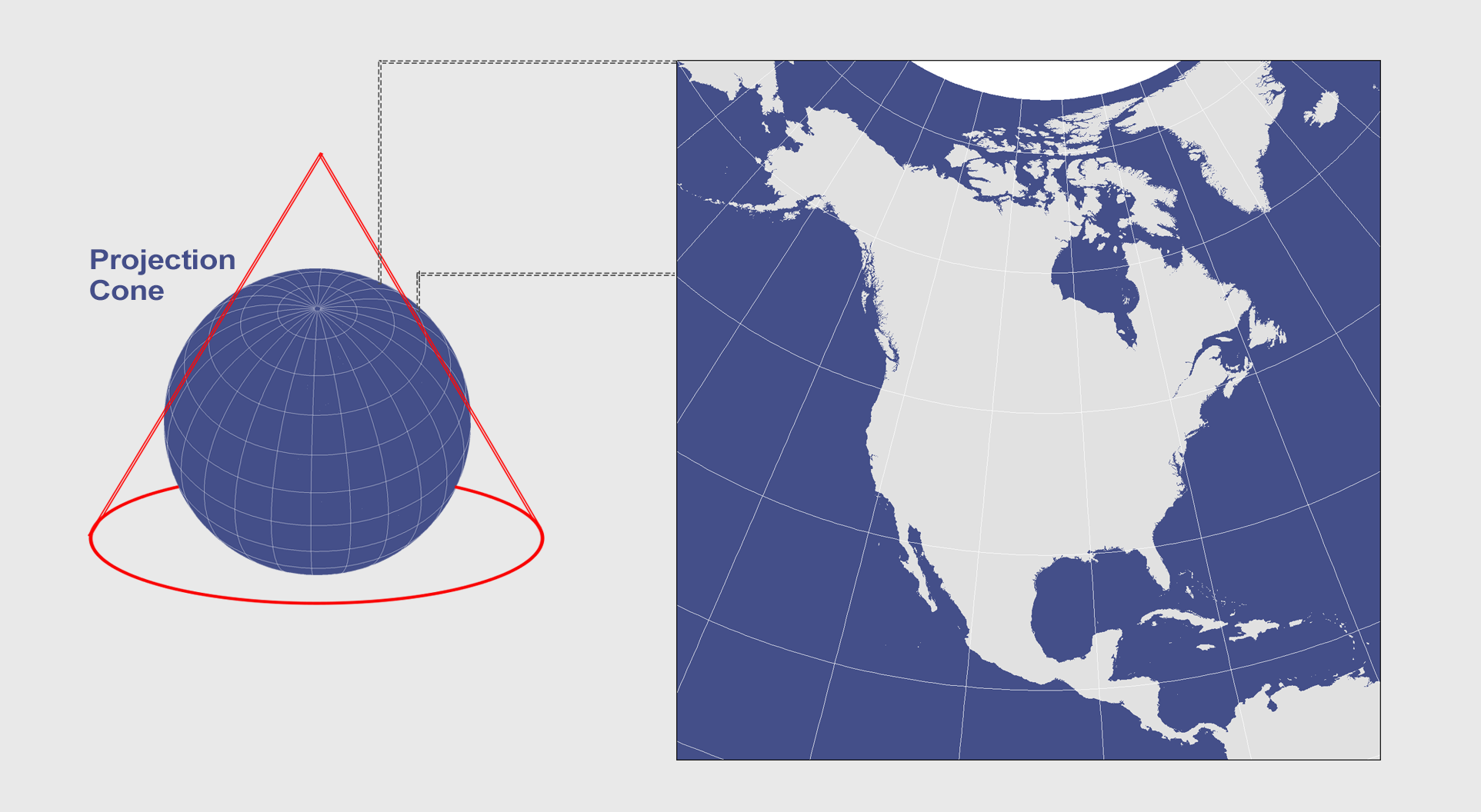
Also, we’ve explained developable surfaces like cones, cylinders, and planes and how they flatten a 3D globe into a two-dimensional map.
Table of contents
- How Map Projections Work?
- Map Distortion with Tissot’s Indicatrix
- Cylindrical Projection: Mercator, Miller and Pseudocylindrical
- Conic Projection: Lambert, Albers and Polyconic
- Azimuthal Projection: Orthographic, Stereographic and Gnomonic
- Equal Area Projection Maps
- What Is the Web Mercator Projection?
- How Universal Transverse Mercator (UTM) Works
- 50 Map Projections Types: A Visual Guide