Universal Transverse Mercator (UTM) Projection
- Start with a sphere or ellipsoid because that is the true form of the Earth.
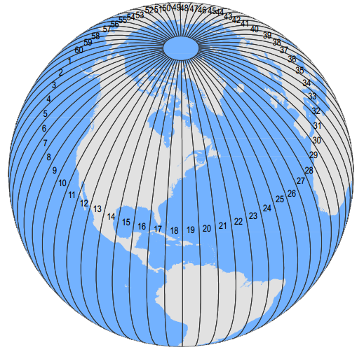
- Then, peel it like an orange evenly into sixty segments called “zones”.
- Finally, flatten each one of these zones.
It's the Universal Transverse Mercator (UTM) projection!
1. How Universal Transverse Mercator (UTM) works
It's one of the most common map projections today. But how does the Universal Transverse Mercator work?A UTM zone is a 6° segment of the Earth. Because a circle has 360°, this means that there are 60 UTM zones on Earth. (360 ÷ 6 = 60), right?
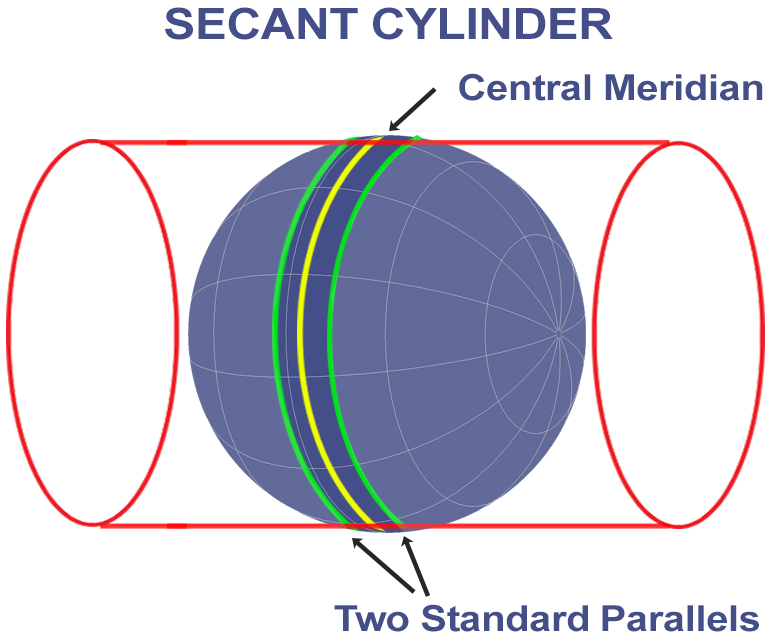
However, the Universal Transverse Mercator places this cylinder 60 times for each UTM zone.
This means that all 60 wedges are flattened out with a transverse cylinder. Each time it's slightly rotated using a different meridian as a central line.
The two small circles are 180 kilometers east and west of the central Meridian at the Equator. The small circles have a scale factor of 1, meaning a distance of 100 meters in the ellipsoid would be the same on the map projection.
2. What is a false easting and northing?
Instead of using latitude and longitude coordinates, each 6° wide UTM zone has a central meridian of 500,000 meters. This central meridian is an arbitrary value convenient for avoiding any negative easting coordinates. All easting values east and west of the central meridian will be positive.If you're in the northern hemisphere, the equator has a northing value of 0 meters.
In the southern hemisphere, the equator starts at 10,000,000 meters. This is because all values south of the equator will be positive. This is called a “false northing” because y-coordinates in the southern geographic region will avoid negative values.
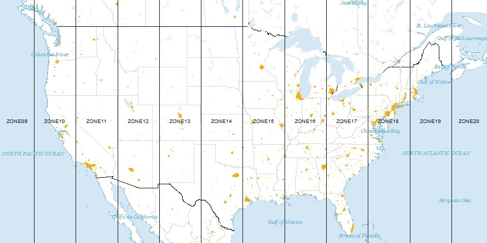
For example, UTM Zone 17S will use a false northing with the equator starting at 10 million. The NAD 1983 UTM Zone 18N will have the equator start at zero meters.
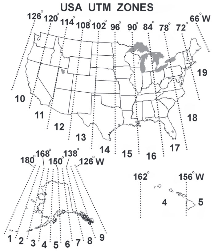
If you have a set of UTM coordinates, you have to know which zone it is in beforehand. This is because the central meridian is assigned 500,000 meters in each zone.
3. UTM projection distortions
The UTM projection minimizes distortion within that zone. So this means that when you want to show features in several UTM zones, it starts becoming a poor choice of map projection.Distortion is small near the central meridian, and as you move away it worsens. So this makes it most fitting for narrow regions and not well-suited for world maps.
…The Universal Transverse Mercator was really meant to map features in one UTM zone at a time.
READ MORE: Map Distortion with Tissot’s Indicatrix
4. Flatten the Sphere 60 Times
The Universal Transverse Mercator (UTM) coordinate system is a standard set of map projections with a central meridian for each six-degree wide UTM zone.The transverse Mercator map projection is an adaptation of the standard Mercator projection which flips the cylinder 90 degrees (transverse).
The UTM projection flattens the sphere 60 times by shifting the cylinder central meridian 6° for each zone. This gives cartographers a map to work with always in meters.
The Universal Transverse Mercator is horrible for small-scale (less-detailed) maps like world atlases and perfect for mapping narrow regions.
Table of contents
- How Map Projections Work?
- Map Distortion with Tissot’s Indicatrix
- Cylindrical Projection: Mercator, Miller and Pseudocylindrical
- Conic Projection: Lambert, Albers and Polyconic
- Azimuthal Projection: Orthographic, Stereographic and Gnomonic
- Equal Area Projection Maps
- What Is the Web Mercator Projection?
- How Universal Transverse Mercator (UTM) Works
- 50 Map Projections Types: A Visual Guide