What is Null Island?
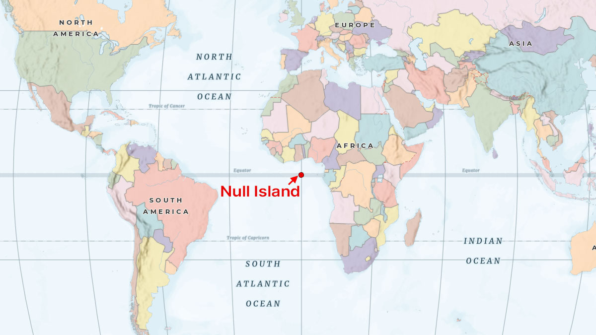
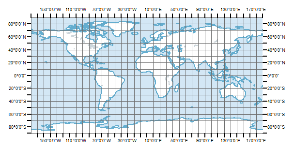
“Null Island” is a bit of an ongoing inside joke in the world of GIS. It’s actually a place that doesn’t exist in the world today.But rather it’s a set of geographical coordinates where the equator (latitude 0°) intersects with the prime meridian (longitude 0°).
This means that it’s located in the Gulf of Guinea in the Atlantic Ocean… basically in the middle of nowhere.
We, GIS folks, just made it up because it’s an error that we constantly make when creating GIS data. More on this later.
Why Data Ends Up Near Null Island
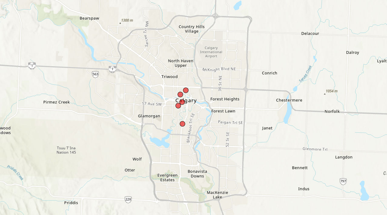
As mentioned before, “Null Island” is a common error with geospatial data. Here’s a situation that leads to locations being placed at “Null Island”.Consider that you have the following coordinates in the city of Calgary, Canada. These coordinates are in the WGS84 coordinate system:
| ID | Latitude | Longitude |
|---|---|---|
| A1 | 51.044 | -114.072 |
| A2 | 51.062 | -114.065 |
| A3 | 51.038 | -114.081 |
| A4 | 51.055 | -114.077 |
| A5 | 51.039 | -114.069 |
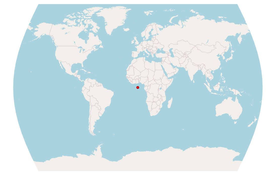
But let’s say I think that these coordinates are actually in the Times (World) Projection, which is a cylindrical map projection. What will happen is that these coordinates will end up in what we call “Null Island”.
Here’s where these coordinates land with the Times (World) projection:
So the reason is that you have to know the correct coordinate system before you create XY points. If you select any random coordinate system, this is how your data may end up in “Null Island” or at least close to it.
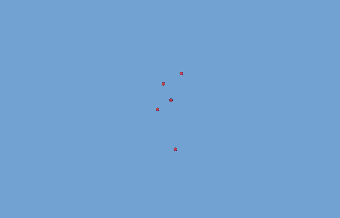
When you zoom into its full extent, you can see these coordinates are close to “Null Island” (0°N latitude and 0°E longitude). This is not that exciting of an image, but you can see how it’s in the Atlantic Ocean and still takes the same shape as it should (but just in the wrong spot!).
But why are these coordinates in the wrong spot?
First, let’s take a look at one set of coordinates from the table. If you have a latitude coordinate of 51.044° and a longitude coordinate of -114.072°, you can see in the map below that it’s roughly in Calgary, Canada.
But because this set of coordinates is so small in values in a Times (World) projection, this point will end up close to the origin (0°N, 0°E).
Conclusion: Where Is Null Island?
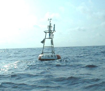
But what’s the current state of this non-existent island? Although there is no landmass or island at these coordinates, there is an ATLAS buoy at (0°N, 0°E) at all times.
This buoy is anchored by a cable to the seabed and it measures temperature and wind speed at all times.
Well, there you have it. We’ve explained what “Null Island” is and how GIS professionals erroneously land their data near there.
Table of contents
- Latitude, Longitude and Coordinate System Grids
- Where is the Central Meridian?
- Greenwich Meridian (Prime Meridian)
- Lost in Null Island: The Curious Origin of 0,0
- Degrees/Minutes/Seconds (DMS) vs Decimal Degrees (DD)
- What is a Horizontal Datum Reference Frame?
- Vertical Datum – Earth's Elevation Reference Frame